IntraSpatial Softech: The Traditional Technology Experts Bringing a Change in Geospatial Arena
The Silicon Review
 IntraSpatial Softech is one of India’s foremost Geospatial services company, based in Bangalore.
Daisaku Ikeda had once said that “With love and patience, nothing is impossible.” Compiling his patience and passion for doing something incredible, Naveen Pasuparthy, Founder IntraSpatial Softech Pvt Ltd brought in the concept of geospatial services and formed his dream company in 2002. Since its inception, the company has grown leaps and bound with Naveen’s leadership accompanied by current CEO Ankur Kohli who joined him later.
Today, IntraSpatial Softech is a renowned name in the industry by being evolved with the requirements of the present times and is confident of executing geospatial projects having the experience of traditional technologies combined with hands-on experience on projects requiring the latest technologies to be deployed for getting a quality product. The company presently renders its bouquet of services to its customers from USA, Canada, Colombia, Brazil, United Kingdom, Portugal, Spain, Austria, Bulgaria, Israel, Romania, Saudi Arabia, South Africa & Australia.
The Spatial Service Specialist
Right from Aerial Triangulation, Digital Terrain Models / Surface Models, 3D vector compilation from stereo Satellite Images, Stereo Aerial Photographs, Orthophoto generation and radiometric enhancements, LiDAR data processing & classification including flight line matching and Hydro-flattening, IntraSpatial offer services in the process of spatial data.
That’s not all in their kitty, the company has also done a lot of 3D City Modeling projects using high resolution aerial imagery with / without real time façade texturing at LOD1 & LOD2 specifications.
Carving a Niche in the Geospatial Arena
The company takes pride in having expertise in all the domains related to the data processing in the geospatial arena. Having gained rich experience in different international geographies for last more than 10 years made them comprehend the geography specific requirements of their esteemed clients. However, to above the desired position where they are today, the company has always kept themselves abreast with all the latest technologies coming up. They keep upgrading their geospatial software with respect to the enhanced functionalities enabling them to reduce the turnaround time without compromising on accuracy.
Being Different in the Domain
The company offers differentiation in a unique way. Having brought the concept of geospatial services is commendable in its own way. The resources available and the people managing them may not have an in-depth knowledge about the geography specific requirements of a project and end up applying the same techniques and approaches to all the projects irrespective of the geographies they are originating from. But, today the things are changing for good as there are a lot of companies, small and big, in India offering geospatial services to domestic & international markets.
Well, in the light of the above, it will not be out of context to mention that Ankur Kohli-CEO leading IntraSpatial is internationally qualified and globally experienced, having done geospatial domain’s advanced study in North America combined with hands-on working experience in different continents. A trained professional from Denmark and Germany with related certifications, he possesses valuable experience having worked on numerous geospatial mapping projects of varied nature for different countries in various positions starting as a compiler of photogrammetric maps and gradually progressing to more technical aspects of mapping and progressing to a techno-commercial role. IntraSpatial is, therefore different in such a way that it gives an individual importance to the projects, no matter how big or small with respect to the geographic-centric approach towards the origin of the project.
The Client Spectrum
The company take pride in having a happy customer base comprising biggies from municipalities, infrastructure developing companies & asset management companies.
Fixing up a primary target of offering clients detail oriented, highly accurate 3D datasets enabling clients to make conversant decisions for planning, development & execution of their projects which range from roads / railways alignment planning to electrical transmission lines study & analysis, flood mapping for disaster management using LiDAR technology integrated with bathymetric survey, forest management, irrigation planning, golf course mapping and creation of highly detailed 3D City models to name a few.
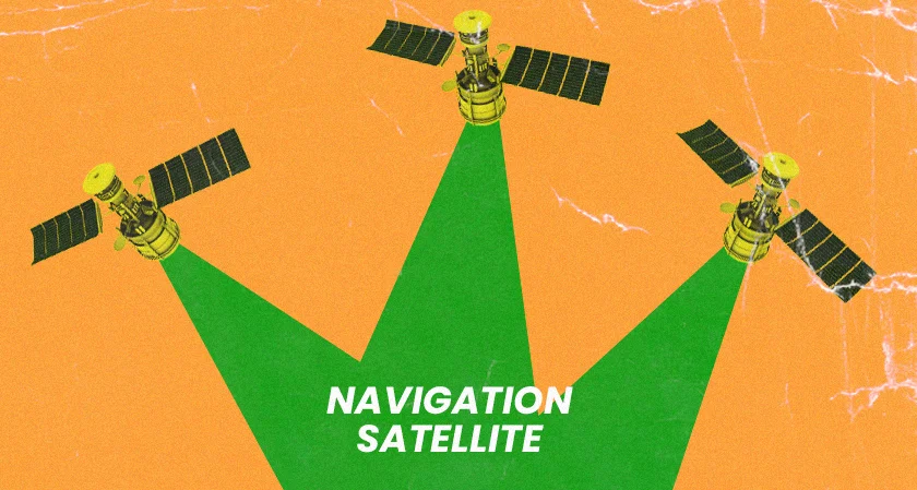
Additionally, the company is also planning on acquiring a drone (Quadcopter or Octacopter) to target the domestic markets which have a huge requirement for accurate 3D maps in various state governments infrastructure planning projects. The drone will be fitted with high resolution photogrammetric camera coupled with a LiDAR sensor specifically.
The Future Roadmap
IntraSpatial will continue to offer its services in international markets, also vigorously participate in domestic markets to share their vast geospatial domain experience with local bodies. Additionally, for the long run, the company is in the plan for a smart investment in the acquisition of drones offering photogrammetric data capture along with LiDAR acquisition technologies. The investment will be extremely beneficial for rapidly developing country like India, as it will be able to answer the needs of accurate geospatial data.
Meet the Dynamic Duo
Naveen Pasuparthy, Founder - A visionary, Naveen brings to the table a wealth of sales, marketing and business development skills gained over the past 20 years working with companies such as Sprint Communications (USA) and Nanda group. He holds MBA degree from Rutgers University (USA).
Ankur Kohli, CEO - An internationally qualified and globally experienced executive, Ankur brings to the team more than 20 years of total experience in the field of Spatial Geomatics, Photogrammetry, Digital 3D Mapping, Surveying, Image Processing, Remote Sensing, Light Detection And Ranging (LiDAR), Geographical Information Systems (G.I.S.) & Cartography.
Happy Clients Speak
“IntraSpatial is a proactive team of professionals ready for any kind of project working at the highest quality standards. It is always a pleasure to do business with them.”
- Ionescu Gabriel Mihai, Technical Manager, S.C. Topo Miniera S.R.L.
“Intraspatial is a key member of our production team for many projects requiring complex mapping tasks such as GIS impervious surface delineation, RGBir orthophotography generation, and aerial Lidar processing. We can efficiently communicate with their technical team and they always strive to provide top quality data. We consider Intraspatial to be part of the GeoTerra family doing their part to achieve overall success in a competitive market place.”
- Bret Hazell, President, GeoTerra, Inc.
"We are equipped with state-of-the-art infrastructure to ensure no compromise on quality or performance.”
MOST VIEWED ARTICLES
RECOMMENDED NEWS


TOP NEWS
YOU MAY ALSO LIKE