>>
Industry>>
Environmental sustainability>>
Polar Vortex Is Returning: Wha...Polar Vortex Is Returning: What Its Strength Means for Winter Weather and the Role of El Niño in 2026
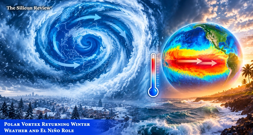
The polar vortex is forming over the Arctic and is currently stronger than normal, but a developing "Super El Niño" could weaken it mid-winter and allow cold Arctic air to plunge south into the United States.
The polar vortex is taking shape over the North Pole, and it is starting the season stronger than normal. That might sound like a recipe for a brutally cold winter. It is not that simple. The polar vortex is a large-scale circulation of cold air and strong winds that forms high in the atmosphere over the Arctic each winter. When it is strong and stable, it helps keep the coldest Arctic air bottled up near the pole. When it weakens or becomes disrupted, some of that cold air can move south into the United States and other parts of the Northern Hemisphere. Recent observations show the 2026-27 vortex strengthening as seasonal cooling gets underway. NASA data analyzed in mid-September showed winds around 60 degrees north in the lower stratosphere running above their long-term average for the date. Forecasts show the vortex becoming stronger than normal in late September before trending closer to typical levels in October.
A Stronger Vortex Is Not Necessarily Bad News
For now, that is not necessarily bad news for the United States. A stronger, more stable polar vortex can help keep the Arctic's coldest air bottled up near the pole instead of allowing it to spill south.
"A strong vortex can help keep the coldest Arctic air farther north," according to atmospheric data.
The bigger winter question is whether that changes later in the season. Long-range forecasts analyzed by Severe Weather Europe show the stratospheric circulation potentially weakening during January and February 2027.
The Role of a 'Super El Niño'
A very strong El Niño is also developing in the tropical Pacific. On September 10, NOAA reported there is more than a 90% probability of a very strong event this fall and winter, with a 75% probability that the October–December value is at least +2.5°C possibly the strongest since 1950. According to research, very strong El Niño events may strengthen stratospheric response via planetary wave activity, but models show wide disagreement in their estimates. AccuWeather meteorologist Chad Merrill said the polar vortex is "just a small part of a bigger picture," and if it weakens from mid-January to February, it "could tip the scales toward a period of colder-than-normal temperatures" in the northern US, but "it doesn't always dictate the overall pattern in the winter during strong El Niño years."
What a Weakened Polar Vortex Means
When the vortex is strong and stable, its winds help contain cold Arctic air. But when it weakens or becomes disrupted, Arctic air can have more opportunities to move into the midlatitudes, including the United States. When Arctic air meets a moisture-rich storm system, the combination can produce snowstorms and blizzards. This year, El Niño can help supply that moisture by strengthening the southern jet stream and steering more Pacific moisture into the U.S.
"The effects are not automatic. A disrupted polar vortex does not mean every part of the United States will turn colder, and a strong vortex does not mean the country will stay warm."
A History of Disruption
The polar vortex has caused severe winter weather in the U.S. before. In January 2026, a stretched polar vortex contributed to a massive winter storm that put more than 230 million people under warnings and caused at least 18 deaths. In 2019, a polar vortex outbreak was linked to at least 21 deaths. Some scientists say climate change could be making the polar vortex more unstable. Research has shown that the occurrence of a weak polar vortex is increasing in frequency, and the times when the polar vortex is strong or circular are happening less frequently.
"We've shown in multiple papers now that the occurrence of the weak polar vortex is increasing in frequency, and the times when the polar vortex is strong or circular it's happening less frequently," said Judah Cohen, a research scientist at MIT.
However, not all scientists agree. Jason Furtado, an associate professor of meteorology at the University of Oklahoma, said it's too early to make a direct connection between Arctic warming and polar vortex disruption.
Here is the question this forecast raises. The polar vortex is stronger than normal now, but a Super El Niño could weaken it mid-winter and send cold air plunging south. When the same atmospheric pattern that keeps winter mild can flip and cause deadly cold snaps, how prepared is the United States for a season of extremes?
FAQ:
Q: What is the polar vortex?
A: The polar vortex is a large-scale circulation of cold air and strong winds that forms high in the atmosphere over the Arctic each winter. When it is strong and stable, it keeps cold air contained near the pole. When it weakens, cold air can move south.
Q: Is the polar vortex stronger or weaker this year?
A: The polar vortex is currently stronger than normal for late September, with winds above their long-term average. However, long-range forecasts suggest it could weaken in January and February 2027.
Q: What does a strong polar vortex mean for winter weather?
A: A strong polar vortex can help keep the coldest Arctic air bottled up near the pole, which may mean milder conditions for the U.S. in early winter.
Q: What is the role of El Niño in the polar vortex?
A: A very strong El Niño is developing and could influence the polar vortex later in the winter. Some research suggests strong El Niño events may weaken the vortex, but models show wide disagreement.
Q: Could the polar vortex cause severe winter storms this year?
A: If the polar vortex weakens in January and February, Arctic air could move south and meet moisture from El Niño, potentially producing snowstorms and blizzards.
Q: Is climate change affecting the polar vortex?
A: Some scientists say climate change is increasing the frequency of weak polar vortex events, but others say it is too early to make a direct connection.













Comments