>>
Industry>>
Environmental sustainability>>
Super El Niño Likely for Aust...Super El Niño Likely for Australia, But Impact Remains Uncertain
The Silicon Review
24 April, 2026
Author:
The Silicon Review Team
A super El Niño is gathering strength in the Pacific, raising the likelihood of warmer, drier weather for Australia in coming months. The Silicon Review reports on forecast models and expert warnings about drought and bushfire risks.
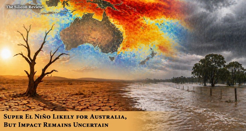
A "super El Niño" is gathering strength in the tropical Pacific Ocean, raising the likelihood of warmer and drier weather for large parts of Australia in the coming months, but meteorologists caution that its exact impact remains uncertain.
The El Niño–Southern Oscillation is currently neutral, according to the Bureau of Meteorology. However, sea surface temperatures in the central tropical Pacific have been warming progressively, and global climate models suggest a shift to El Niño conditions could occur as early as May or as late as July.
What is driving the potential for a "super" event is a massive slab of warm water sitting up to 250 metres below the central equatorial Pacific Ocean, with temperature anomalies exceeding 6 degrees Celsius in some areas. If this warm water upwells toward the surface in the coming weeks, it could trigger a strong El Niño.
The US National Oceanic and Atmospheric Administration's latest forecast shows a 25 per cent chance of a very strong El Niño developing in the latter half of this year. Some BOM models are even tipping the NINO3.4 index the key metric used to define ENSO conditions could exceed the +2.0°C "super" threshold during spring, comparable to the strongest El Niños in the modern record.
For Australia, El Niño typically brings reduced rainfall, warmer temperatures, and increased fire danger. However, forecasters stress a critical point: stronger events do not always mean bigger weather impacts. "Sometimes a weak El Niño can lead to significant impacts on Australia's rainfall and temperature, while a stronger event may have fewer noticeable impacts," the BOM states . Each El Niño is unique, like a fingerprint.
What is less uncertain is the compounding effect of other climate drivers. The Bureau has also predicted a positive Indian Ocean Dipole, which typically means less rainfall, warmer days and nights, and increased fire danger over winter. These two drivers occurring simultaneously on either side of the continent have forecasters worried.
Historically, super El Niños have delivered devastating impacts. The 1982 event produced the driest winter on record nationally, followed by the Ash Wednesday bushfires that claimed 75 lives. The 1997 super El Niño produced the hottest summer on record at the time, while 2015 saw Tasmania's driest spring on record and the weakest tropical cyclone season.
Forecasters expect a clearer picture later in autumn as the autumn predictability barrier a period when ENSO forecasts are less reliable passes.
As a super El Niño threatens to bring drought and bushfires to Australia, The Silicon Review examines what the climate models are telling us and why even the strongest events don't always follow the script.
About the Author
Sashindra Suresh is an experienced writer specializing in artificial intelligence, software development, and emerging technologies. With a strong ability to translate complex technical concepts into clear, engaging insights, she has contributed to a wide range of publications and platforms. Her work focuses on making cutting-edge innovations accessible to both industry professionals and curious readers alike.