>>
Industry>>
Environmental sustainability>>
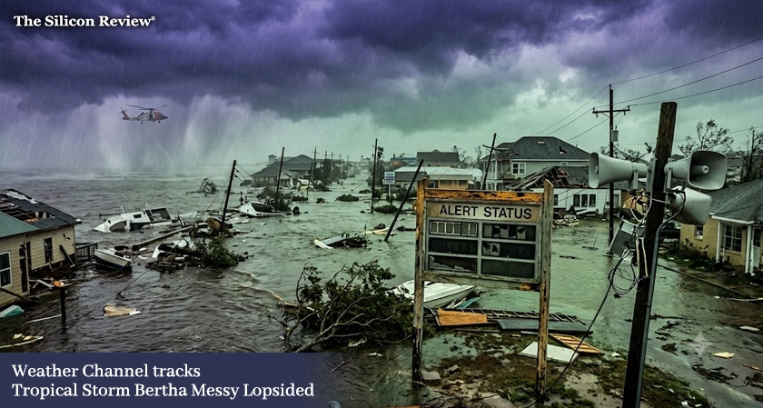
Weather Channel: Tropical Stor...Weather Channel: Tropical Storm Bertha Is Messy and Lopsided, Gulf Coast Alert
The Silicon Review
22 July, 2026
Author:
Sashindra Suresh
The Weather Channel is closely monitoring Tropical Storm Bertha, whose messy and lopsided structure is making its path harder to predict, raising concerns along the Gulf Coast.
The Weather Channel is closely tracking Tropical Storm Bertha, a system that is behaving anything but textbook. Meteorologists are warning that it’s messy, lopsided structure far from the symmetrical form of a well-organised cyclone is making its path and intensity significantly harder to forecast.
"Bertha is a messy storm. It's lopsided, which makes forecasting its intensity and path significantly more difficult," said a senior meteorologist at the National Hurricane Center. "This isn't a well-organised system, and that means we have to be prepared for surprises."
Unlike a typical tropical cyclone, which forms a symmetrical, well-defined structure with a clear eye and organised rainbands, Bertha is exhibiting an asymmetric structure that can lead to erratic movement and rapid changes in intensity. The Weather Channel's tracking tools and advanced forecasting models are being used to monitor its progress, but the storm's unpredictability is a reminder of how complex weather systems can be.
"A lopsided storm can wobble, stall, or even strengthen unexpectedly, which are scenarios that can catch communities off guard," added the meteorologist. "We are advising residents in the Gulf region to remain vigilant and stay informed."
The storm is currently located in the Gulf of Mexico, with maximum sustained winds of 50 mph and moving slowly toward the northwest. Its lopsided structure means that heavy rain, storm surge, and tornado threats could be concentrated on one side of the storm, making impacts highly localised but potentially severe.
"One side of the storm is going to be far more dangerous than the other,” said a private weather analyst. "Residents on the eastern side of the storm's path should be especially alert for flooding and damaging winds."
The Weather Channel continues to provide updates as the system develops, and the National Hurricane Center is urging residents in Louisiana, Mississippi, and Alabama to complete their storm preparations and monitor official channels.
"We are in a 'wait and see' mode," said a local emergency management official. "But waiting is not the same as being unprepared."
Here is the question this storm raises. The Weather Channel is tracking Tropical Storm Bertha, whose messy and lopsided structure makes its path harder to predict. When storms behave unpredictably, how can communities stay ahead of the danger?
As the Weather Channel monitors Bertha, The Silicon Review asks a final question. When the next storm forms, will we be ready for what it brings?
FAQ:
Q: Why is Tropical Storm Bertha being closely tracked by The Weather Channel?
A: The Weather Channel is tracking Bertha because its unusual structure makes forecasting its path and intensity significantly more difficult.
Q: What is Bertha's current status?
A: Bertha is a tropical storm located in the Gulf of Mexico with maximum sustained winds of 50 mph, moving slowly toward the northwest.
Q: Why is Bertha described as "messy and lopsided"?
A: Unlike a typical symmetrical cyclone, Bertha has an asymmetric structure that can cause erratic movement, unpredictable strengthening, and localised impacts.
Q: What are the risks for Gulf Coast residents?
A: The lopsided nature of the storm means heavy rain, storm surge, and tornado threats could be concentrated on one side, making impacts highly localised.
Q: Where can I get the latest updates on Bertha?
A: The Weather Channel and the National Hurricane Center are providing real-time updates and advisories on the storm's progress.




















Comments