>>
Industry>>
Environmental sustainability>>
Exploring Nature in New Ways W...Exploring Nature in New Ways With the Help of Technology
The Silicon Review
08 August, 2026
Author:
Sashindra Suresh
For generations, exploring the great outdoors meant completely unplugging from the modern world. The traditional image of a nature enthusiast involved paper maps, a magnetic compass, physical field guides, and a reliance on sheer intuition to navigate the wild. Today, however, the narrative has shifted. While the fundamental allure of the wilderness remains unchanged, offering peace, adventure, and a connection to the earth, the way we interact with our natural surroundings has evolved significantly. Instead of creating a barrier between humans and the environment, modern technology is actually bridging the gap, allowing us to explore nature in entirely new, immersive, and responsible ways.
Understanding Wildlife Patterns Through Advanced Tracking
Beyond basic identification, technology has revolutionized our understanding of animal behavior and seasonal movements across natural habitats. While predicting waterfowl flyways once depended entirely on localized observations and intuition, modern digital tools now aggregate vast amounts of environmental data. By utilizing a specialized migration tracker for hunters, sportspeople can analyze shifting weather fronts and barometric pressure to anticipate bird movements with remarkable accuracy. This data-driven approach
transforms outdoor planning into an educated, immersive experience that fosters a deeper connection to complex ecological cycles.
The Rise of the Digital Naturalist and Citizen Science
One of the most profound impacts of technology on outdoor exploration is the democratization of biological data. In the past, identifying a rare bird, a unique plant, or an elusive insect required carrying heavy encyclopedias or possessing years of specialized education. Today, smartphones equipped with high-resolution cameras, microphones, and artificial intelligence have turned everyday hikers into active contributors to scientific research.
This concept, known as citizen science, allows individuals to upload photos and audio recordings to massive global databases. By simply snapping a photo of a wildflower or recording a bird's song on a trail, modern explorers are actively participating in the documentation and preservation of the natural world. This technology doesn't distract from the outdoor experience; it deepens the user’s engagement by answering the age-old question: "What exactly am I looking at?"
Enhancing Navigation and Backcountry Safety
While getting lost in the woods was once a romanticized notion, the reality of backcountry emergencies is far less appealing. Technology has drastically improved outdoor safety and navigation, allowing people to venture further into the wilderness with confidence.
Topographical maps that once required a specialized skillset to read are now digitized in high definition, complete with 3D terrain modeling, public land boundaries, and real-time weather overlays.
Furthermore, satellite communication devices have replaced the reliance on spotty cellular service. These tools allow hikers, mountaineers, and hunters to send SOS signals, share their exact GPS coordinates, and text loved ones from the most remote corners of the globe. Because technology allows us to navigate more precisely, it also helps us minimize our impact on the environment. Knowing exactly where you are prevents the accidental destruction of fragile habitats and ensures that public lands remain pristine for future generations.
Data-Driven Conservation and Environmental Stewardship
The convergence of digital technology and ecology has transformed modern conservation from a reactive management discipline into a proactive, predictive science. High-resolution satellite imagery, Geographic Information Systems (GIS), and remote sensing networks produce massive datasets detailing habitat health, canopy cover, and microclimate variations across vast landscapes. When integrated with field observations crowdsourced from outdoor enthusiasts, ranging from hikers logging rare plant species to sportsmen monitoring seasonal waterfowl counts, this continuous influx of information provides wildlife managers and ecologists with a comprehensive, real-time picture of global biodiversity.
Modern conservation strategy relies heavily on predictive modeling to mitigate environmental disruption. Advanced algorithms analyze historical climate data, land-cover alterations, and telemetry to forecast how species distributions will shift in response to warming temperatures and urban expansion. By mapping biological corridors and critical stopover habitats, scientists can identify geographical bottlenecks where land fragmentation threatens wildlife survival. Non-profit land trusts and global entities utilize these predictive spatial analytics to prioritize land acquisition, establish protected movement corridors, and target ecosystem restoration efforts where they will yield the greatest ecological impact.
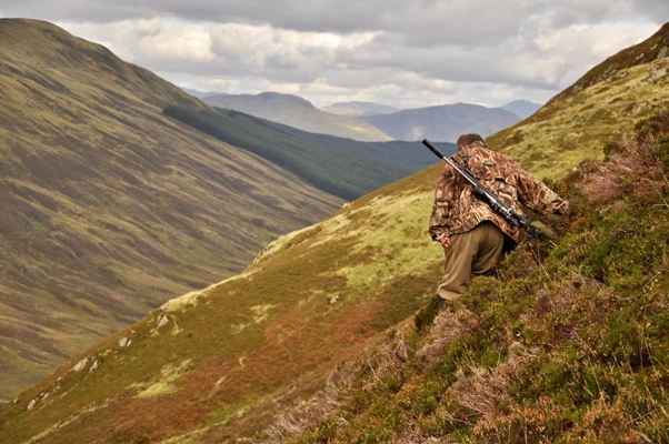
The notion that technology and nature are inherently at odds is an outdated perspective. While it is always healthy to occasionally put the phone away and simply listen to the wind in the trees, modern digital tools have undeniably enriched our outdoor experiences. From amateur botanists identifying rare flora to sportsmen tracking seasonal migrations, technology offers unprecedented ways to learn about, navigate, and protect the wilderness. By embracing these advancements responsibly, we can forge a deeper, more educated connection with the natural world, ensuring that our forests, mountains, and wetlands continue to thrive for centuries to come.




















Comments